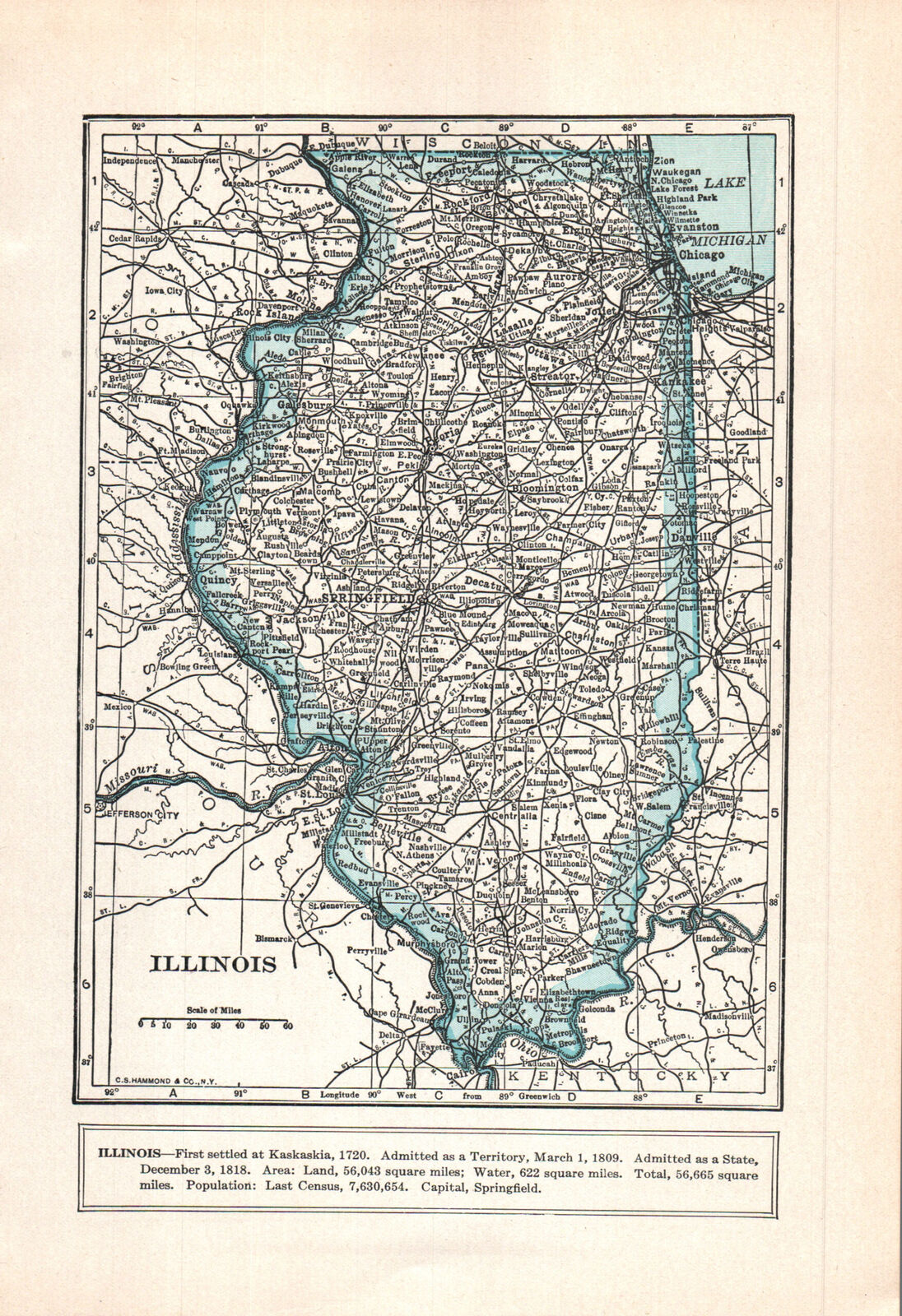
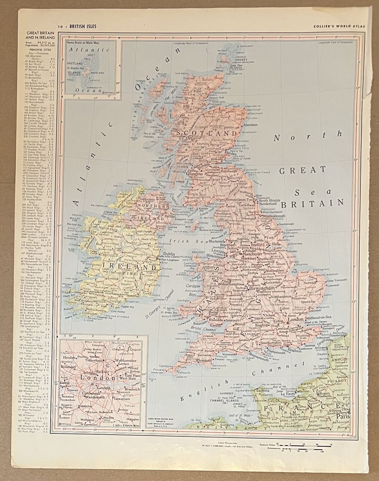
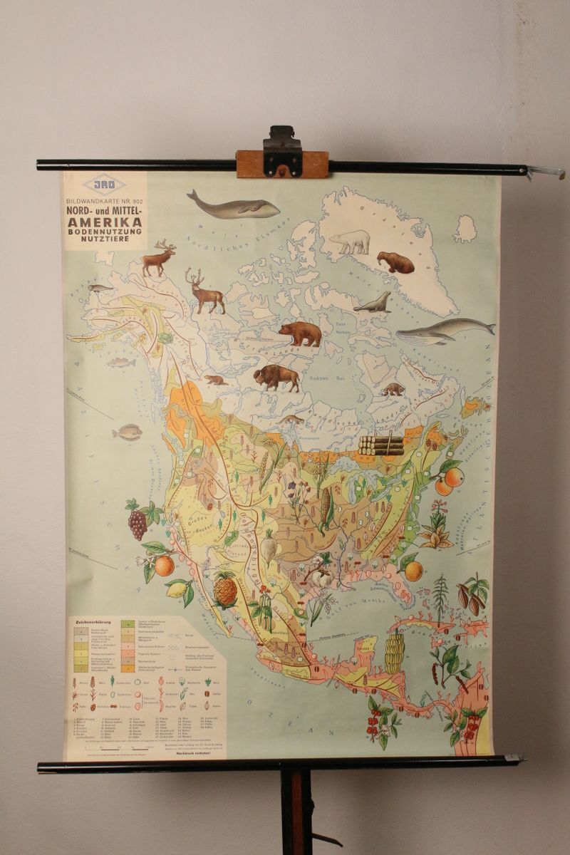
-40%
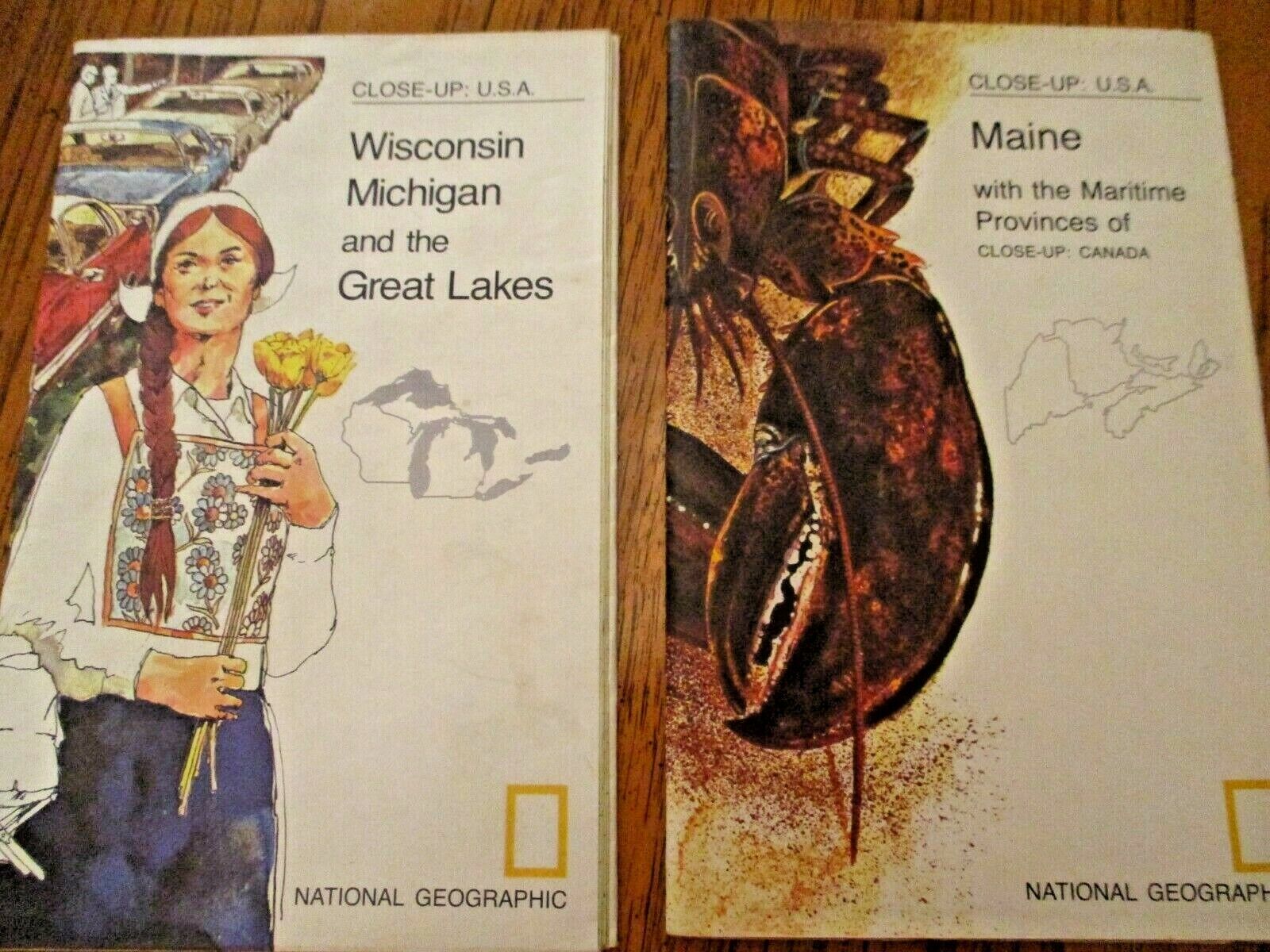
Vintage Maps Wis. Mich. Great Lakes-Maine and Canada, (2) Nat. Geog. Mag. Maps
$ 2.64
- Description
- Size Guide
Description
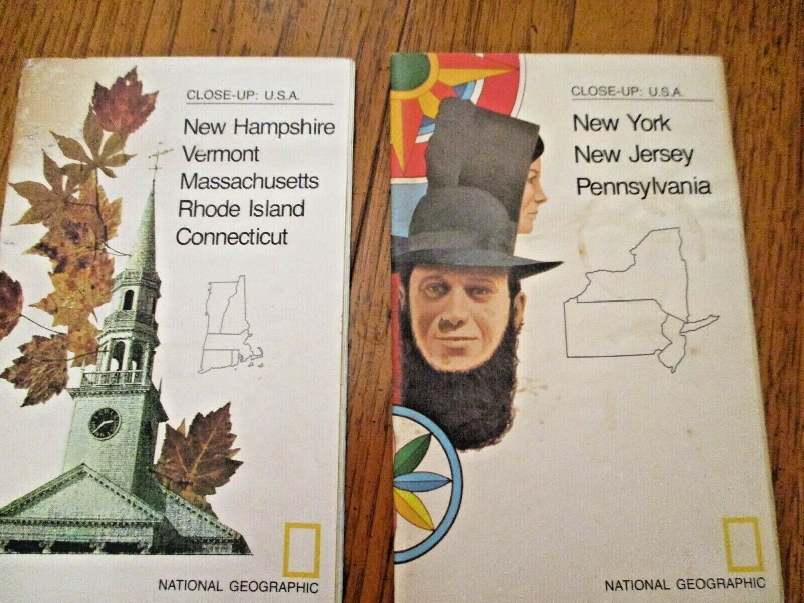
Vintage "Wisconsin, Michigan and the Great Lakes" 1973 Folding map and"Maine, and the Maritine Provinces of Canada" 1975 Folding Map. Both "Close up of USA" Great colors and vivid print. From an Estate Map Collection. May have small tape areas on the creases where it has been folded and refolded. Wonderful information for Schools and Presentations and family study. See the Photos. (M-10)
Please check the photos and email with any questions.
SHIPPING:
I combine orders when breakage is not a problem.
I usually ship same day or next day Monday to Friday Noon.
Be Aware that you may have to pay SALES TAX according to the laws of the state you live in.
eBay collects and pays your state taxing Authority
If you have an issue of any kind with the transaction please email and I will find a fast and fair solution.
Be sure and Check my Feedback!
Your Satisfaction is always Priority One
.
